Campus News
November 20th, 2023
Adventure cartography: High-tech and high-touch
Hermann, Purple Lizard maps in early stages of Deep Creek mapping project

Photo by Hannah Sickles
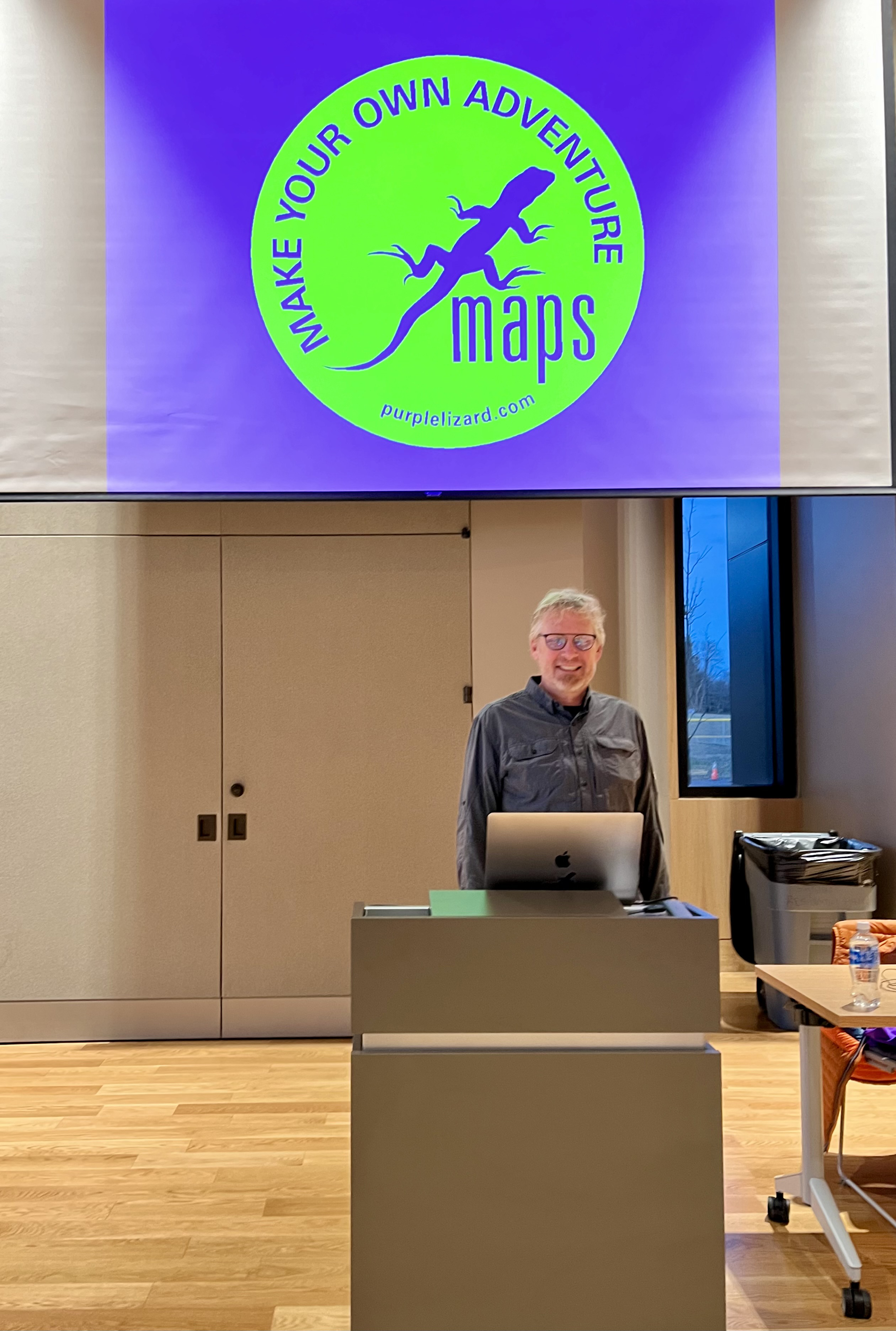
Michael Hermann discussed adventure cartography during last Wednesday's Joan Crawford Lecture Series presentation in the Performing Arts Center at Garrett College.
Michael Hermann understands both the benefits and the limitations of today's high-tech mapping options.
"Now that we've got maps on our phones there's a level of cartographic literacy that didn't exist before,” said Hermann, the Purple Lizard Maps founder who visited Garrett College last Wednesday to serve as November's Joan Crawford Lecture Series presenter.
"GPS has us all trained to do the fastest route,” continued Hermann, an adventure cartographer who is in the initial stages of a Deep Creek Lake mapping project with a spring 2024 release date. "Where's the button that says, ‘I want the most scenic route'? How about, ‘I want the most enjoyable route'? We don't get those options.”
Hermann used a PowerPoint slide of a bright-red Pennsylvania covered bridge to illustrate the point.
"There are a lot of beautiful covered bridges in Pennsylvania,” he said. "It turns out this particular one is the longest in Pennsylvania. You can drive through it, but since they built the main highway 300 yards away, nobody knows it's there. But if you had our map, it's called out.”
Hermann hopes to achieve some of the same accomplishments with his Deep Creek area map.
"If you look at Casselman State Park, you're on I-68, it's a little blip, doesn't even show up,” said Hermann. "You're like, ‘Why would I go there?' Well, if we put a lizard there and we tell you it's really cool, then you might want to pull off and have a sandwich and hang out there. Our maps open up experiences for people.”
Hermann indicated maps should be designed with the people who will be using them in mind.
"You've all picked up highways maps . . . at the Visitors Center,” Hermann said. "It's a transportation map, so it's all about the interstate.
"The interstate is the most important thing and then maybe county lines and all the things the State Department of Transportation thinks are very important,” added Hermann, who founded Purple Lizard Maps in 1997.
Hermann said the goal of Purple Lizard is "to spin that [mapping] model to the outdoor recreation audience.”
"We're trying to share with you all the things that an outdoor enthusiast wants to do,” said Hermann, whose company most recently completed a two-map series of Shenandoah National Park. "So we're not making a hiking map, we're not making a mountain biking map, we're not making a paddling map – we're putting all of those things in one map.”
Hermann said his overarching cartographic goal is to "take a landscape and unlock it for people who are trying to pull all the recreational assets to the front.”
One of the key facets of his adventure cartography philosophy is immersion within the featured region.
"We want to be in the landscapes that we're mapping,” explained Hermann. "We want to have that experience – what it's like to camp here, what happens here, what's the vibe, what's a really busy time of the forest, a quiet part of the forest. It [the time to make their maps] affords us the time to go there in different seasons. So, like being in Deep Creek this time of year, this is very different than being here on the 4th of July.”
This philosophy requires significant "face time” with regional residents.
"We get some of the local information from grounds crews and maintenance workers. We meet with management all the time,” said Hermann. "We also talk to the people that grew up there and have worked there their whole life. They're a great resource.”
"They know where the old roads are, they know what's open and what's not,” Hermann continued.
Hermann noted he had started his day at Potomac-Garrett State Forest "down in Oakland meeting with the foresters.”
"We had gone back and forth over the last few months with emails and screenshots and files,” Hermann explained. "And we're like, ‘Your maps show this, we went out there and we didn't see that' – and so this ability to sit down at the same table and discuss it allowed us to get a lot worked out today.
"And then, in our usual fashion, that led to some questions,” Hermann said. "So, we jumped in the truck and drove around a little bit more in early afternoon before we came here figuring out some campsites that needed to be added to the mix.”


